Geospatial tools are revolutionising water infrastructure planning in New Zealand and how infrastructure owners are engaging with each other, stakeholders, the community and suppliers.
Technologies have been evolving since the first maps were hand drawn many centuries ago, to when the long important schools of cartography and mapmaking were joined by aerial photography as early cameras were sent aloft on balloons and pigeons, and then on airplanes and satellites during the 20th century.
The science and art of photographic interpretation and map making has accelerated to today, where now, high resolution and low-cost collection using drones, e-storage and real-time transfer of data, together with the development of associated digital software, maps, and data sets, on socio-economic and environmental data, allows complex themes to be analysed, modelled and then communicated to stakeholders and communities.
In the infrastructure industry geospatial modelling has also evolved. What started off as a way for digital display of infrastructure maps, has transitioned to platforms that link and visualise history, current and future functional use of infrastructure, asset performance, population growth, Council zoning information through to the impact of government regulations and socio-economic factors.
In this paper, Aurecon outlines how geospatial modelling is helping the water industry to better understand the built environment, natural environment and societal changes. Data-rich modelling to inform data-driven decision-making provides new ways to address macro-environmental changes – such as climate change, ageing assets and sustainability – over the coming decades, through micro-decisions that people make.
It also can increase the value of existing water infrastructure together with informing community and iwi consultation, and the design of new infrastructure to maximise its value.
Visualising scenarios
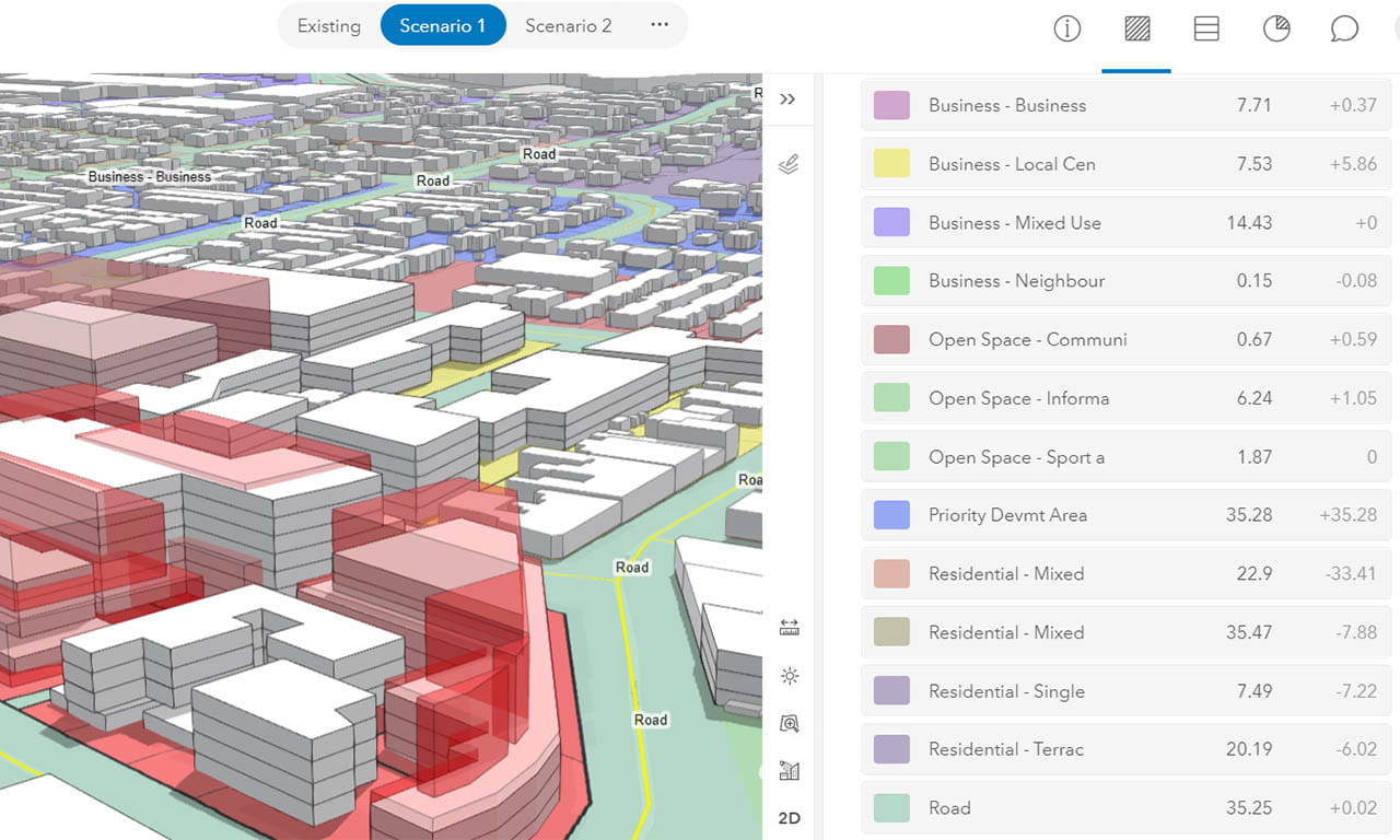
With a big role to play in the water industry, data and digital modelling supports decision-making by improving the design of infrastructure by readily visualising multiple iterations of a design to determine the most sustainable option whilst also retaining function.
There is tremendous potential to combine organisational and business data into a joined-up digital picture to plan resilient infrastructure that leaves a legacy for communities.
Able to make calculations easily and efficiently, digital models can predict materials usage, asset performance, network planning, sizing and timing of infrastructure required to meet current and future customer requirements. Complex scenarios can now be modelled in short timeframes and give us more confidence than in the past, when fewer infrastructure options would be manually explored.
One example of this is Aurecon working with the water industry to integrate the Esri ArcGIS geospatial platform into strategic water and wastewater network planning.
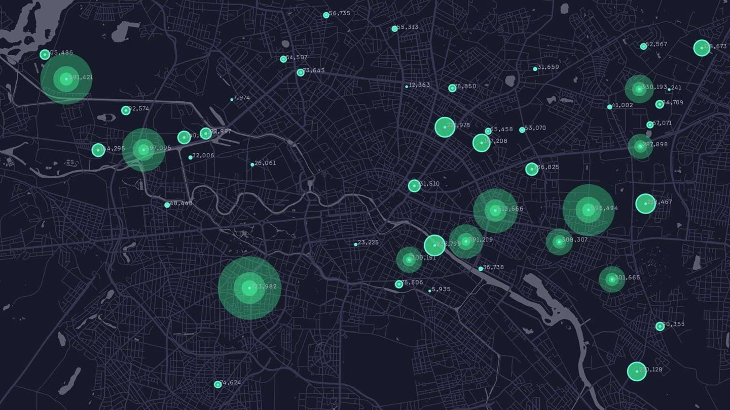
Geospatial tools are much more than digital infrastructure maps. The platforms link and visualise all the data about the existing infrastructure and its use, population growth expectations, Council zoning information, Government projections and more.
Geospatial modelling can also support the enablement of water reforms through the four new water service entities in the country. This is achieved through digital and data applications to inform investment decisions that create and protect asset value for affordable water services for communities. Spatial planning also combines comprehensive and dynamic data models to enable scenario planning and support collaboration across entities.