

Change your location to view content tailored for you.
Digitisation is changing the way we plan, design and deliver major projects. It’s revolutionising how we connect, collaborate and communicate within and across organisations, government and communities.
The opportunities for asset owners to enhance business processes and projects are endless. With a fit-for purpose digital strategy, geospatial technologies can unlock insights to enable decision making and enhance performance.
Aurecon provides a platform for geospatial data capture and analytics, information management and data visualisation, and collaboration in complex projects. The expertise of our geospatial engineering professionals, combined with cutting edge mobile and web technologies, supports all service offerings across advisory and the built environment, energy, resources, manufacturing, infrastructure and government markets.
Our market offering comprises of two main groups: ‘Geospatial Services’ and ‘Spatial Surveying’.
Aurecon has been a leader in the delivery of geospatial intelligence for more than 20 years. Our global team draws upon a combination of industry experience, business insight and technical knowledge to deliver innovative digital solutions across a wide variety of disciplines and industries.
Aurecon's services across our digital delivery initiatives include:
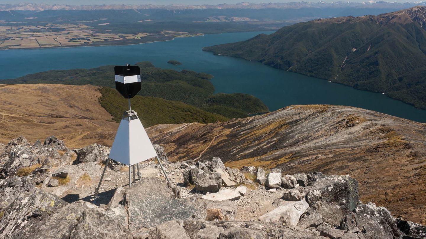
Aurecon’s spatial surveying team includes senior professional surveyors, project managers, technical officers, drafters and GIS specialists. Backed by experts with major infrastructure and construction project experience, our innovative and professional surveying services cover all surveying needs for building or civil engineering developments.
The team provides physical on-site expertise as well as consulting advice on projects in the following areas:
How engineering and construction projects are evolving to champion biodiversity, through early planning, advanced technologies, and ecosystem stewardship.
How do we reinvent our cities through technology so they are fit to combat congestion, pollution and inadequate transport infrastructure?
Featured insights
Asia’s transport networks must evolve to deliver sustainable, connected mobility. Learn how Aurecon is shaping Asia with innovative infrastructure solutions.

Associate Geospatial – APAC

Geospatial Practice Leader – VIC & SA, Australia

Associate, Geospatial – NSW & ACT, Australia

Director, Environment & Planning – Australia

Geospatial Practice Leader – New Zealand