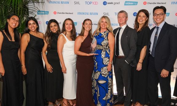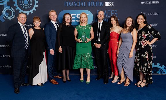
AFR names Aurecon one of Australia and New Zealand’s best places to work
Aurecon wins AFR's 'Integrating' award, recognised as one of ANZ's best places to work for its culture, The Aurecon Way, and initiatives to help employees thrive.


Change your location to view content tailored for you.
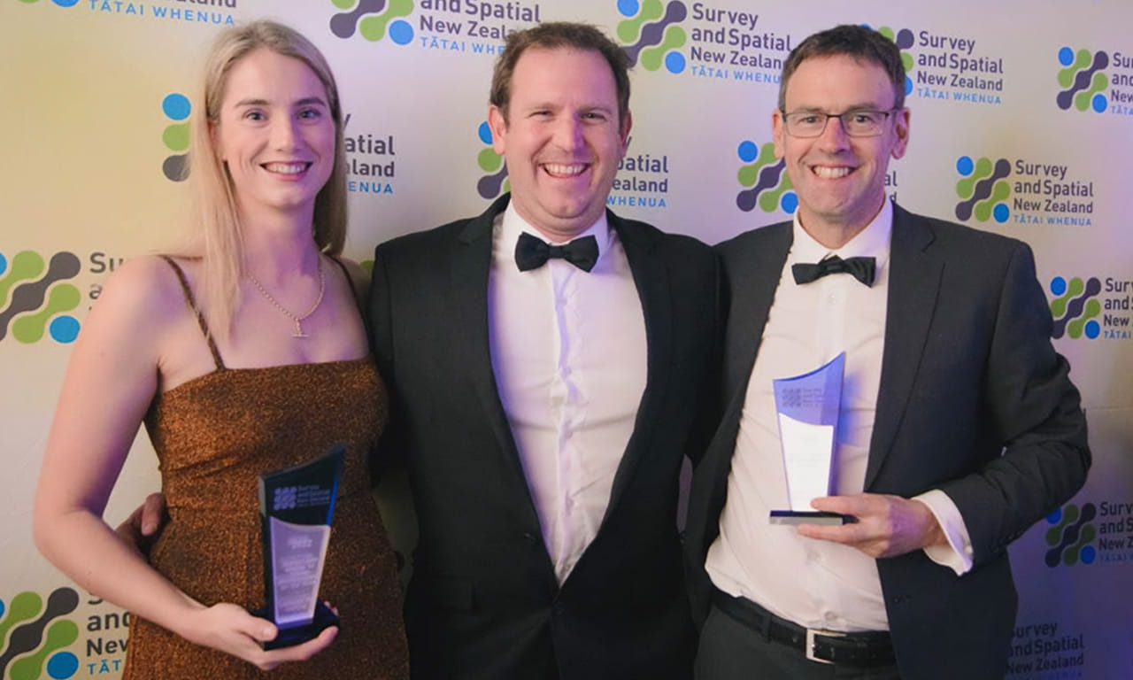
International design, engineering and advisory company Aurecon’s Mike Pinkerton, Technical Director Geospatial and Cassie Hardie, Senior Surveyor, were recognised at the 2022 Survey and Spatial New Zealand (S+SNZ) Awards for their excellence and innovation, as well as for raising the profile of the survey and spatial professions.
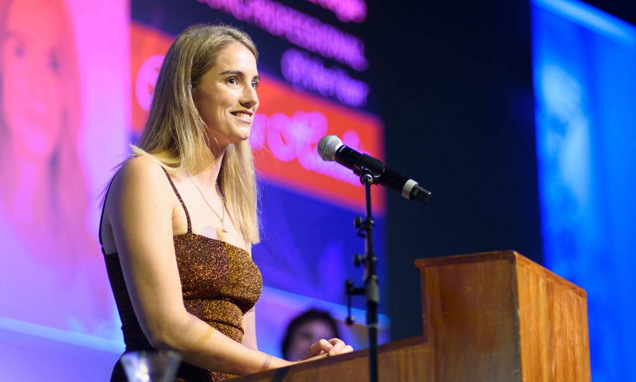
Mike received the Professional Excellence in the Positioning and Measurement Industry, while Cassie won the Bogle Young Professional of the Year Award and the Percy Dyett Award, which recognises the best land development engineering candidates in the professional entrance examinations to be a Licensed Cadastral Surveyor.


Andrew Perry, S+SNZ Vice President and Principal – Geospatial at Aurecon, said: “The awards were a great showcase of survey and spatial talent across Aotearoa New Zealand, celebrating those who have given service to the profession and those who are eminent and bring technical excellence to their chosen fields. It was a real pleasure to celebrate the fantastic achievements in our industry, and even better that we got to recognise two of our Aurecon colleagues as recipients of the awards.”
Gareth Mitchell, Geospatial Practice Leader, New Zealand at Aurecon, recognised Mike and Cassie’s outstanding contributions in bringing innovative geospatial projects to life for the company’s clients.
“For over 15 years, Mike has played a vital technical geospatial leadership role across Aurecon projects within Aotearoa New Zealand and globally. His experience, knowledge and energy to test, prove and adopt spatial data capture technology, management and visualisation of that data sets up a strong base for our design teams, clients and asset owners for success” says Mitchell.
“Cassie has shown great enthusiasm and drive to grow and master her skills across the range of geospatial capture technologies, cadastral surveying and land development engineering fields. With great support from the team around her, Cassie has been recognised for the hard work and attention she gives all her projects, teams and the clients lucky enough to work with her” continued Mitchell.
With more than 15 years of professional experience, Mike has contributed significantly to the industry with his expertise in spatial data capture, geodetic and positional control.
At Aurecon, Mike has stepped into survey lead and/or advisory roles on some of Aotearoa New Zealand’s high-profile projects, including the Waterview Tunnel; Auckland’s Northern, Southern and Western Ring Route Motorways; Auckland City Rail Link; Otira Tunnel; Wellington Regional Rail Upgrade Programmes; Northland Line Upgrade; Interisland Ferry Terminal Redevelopment; and first response efforts on post-Kaikoura earthquake and subsequent rebuild projects.
Mike has also established strong international links through his reputation providing spatial capture solutions and guiding teams on projects that have taken him to project sites in Australia, South Africa and Ethiopia.
Outside of his role, Mike champions the survey and spatial professions through speaking at local and international industry conferences such as the Survey and Spatial New Zealand (S+SNZ) and the International Federation of Surveyors (FIG) Conference.
“It was great to get this recognition from industry peers for my career achievements and acknowledgement of the enduring importance of positioning and measurement in the digital revolution, connecting the virtual and real worlds,” said Pinkerton.
Cassie started her career journey in 2017 as a survey graduate at Aurecon. With her enthusiasm and dependability, Cassie has easily become one of the key members of the company’s Geospatial Practice, where she has led numerous drone surveys and laser scans to support Aurecon’s energy, resources and transportation markets.
In 2021, Cassie took her professional entrance examination to be a Licensed Cadastral Surveyor. She was recognised as one of the two best land development engineering candidates in New Zealand that year, having submitted a project for a mixed-used development with complex stormwater issues.
Cassie’s contributions extend beyond her role at Aurecon. Currently, she serves as the secretary and acting chair of S+SNZ’s Rotorua/Bay of Plenty Branch, where she supports and promotes the profession through organising meetings, coordinating council submissions and local matters for Land Information New Zealand, such as removing trig stations on culturally sensitive land.

Group Director, Brand, Marketing & Communications
Aurecon wins AFR's 'Integrating' award, recognised as one of ANZ's best places to work for its culture, The Aurecon Way, and initiatives to help employees thrive.
Aurecon secures its fifth consecutive 'Most Popular Engineering Employer' award and ranks 9th overall in the 2026 AFR & SEEK Top 100 Graduate Employers.
Four Aurecon leaders honoured as Engineering New Zealand Fellows for their outstanding leadership and impact on major infrastructure projects.