Western Harbour Tunnel, Sydney, NSW, Australia
Aurecon is transforming Sydney Harbour, replacing dredging with TBM tunnel engineering to deliver a faster, safer and more sustainable second harbour crossing.


Change your location to view content tailored for you.
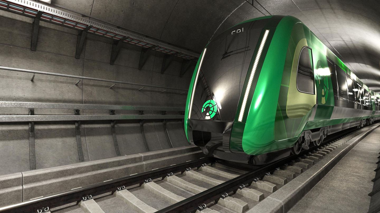
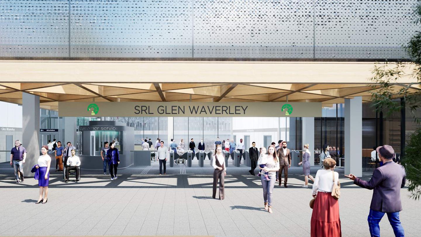
The population of Victoria, Australia, is expected to grow to around 11.2 million people by 2056 and its capital, Melbourne, reach approximately 9 million people. In support of this growth, a Suburban Rail Loop (SRL) is planned to transform the state’s public transport system, and also enhance the future liveability of local neighbourhoods.
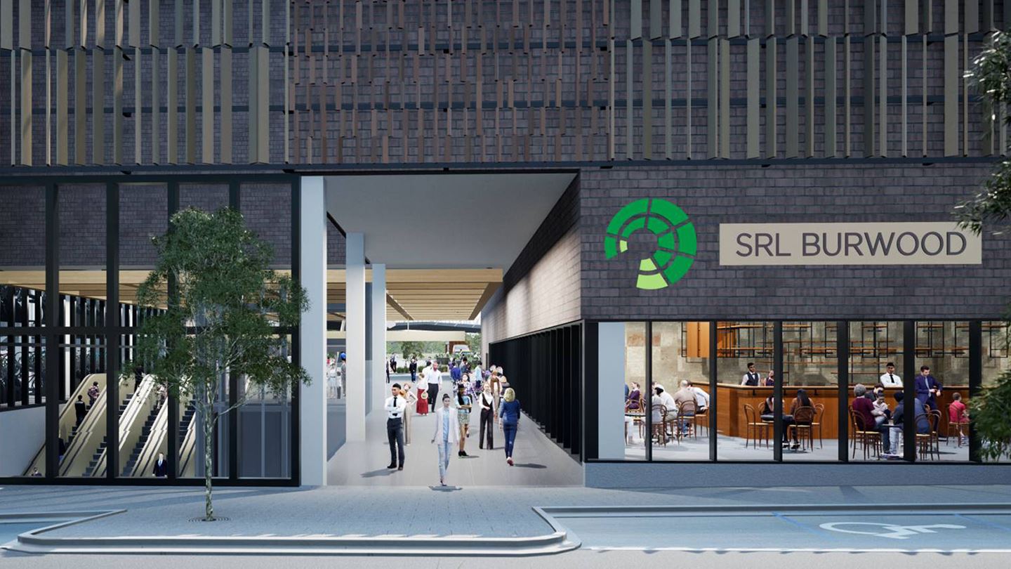
SRL is more than a 90 km orbital rail line. New stations will serve vibrant and thriving surrounding precincts, creating more opportunities for people to live, study, shop and socialise, with access via the new rail line, and improved walking and cycling connections.
Additionally, the project will create better connections with Victoria’s regional rail network.
The Aurecon Jacobs Mott Macdonald Joint Venture (AJM-JV) developed the Environment Effects Statement (EES) – Victoria’s most comprehensive and transparent planning and environmental assessment process – with the Suburban Rail Loop Authority for the project’s initial stage, SRL East: Cheltenham to Box Hill.
It is the first time in Victoria that an EES was entirely assessable and shared digitally to provide better access to information and data for everyone. Previously, stakeholders and members of the community would have to go through thousands of hard copy documents.
The content within the digital report for this stage was presented in a way to allow people to find and focus on information relating to specific areas of interest, and take them on a journey of how the project addresses social, cultural and environment factors.


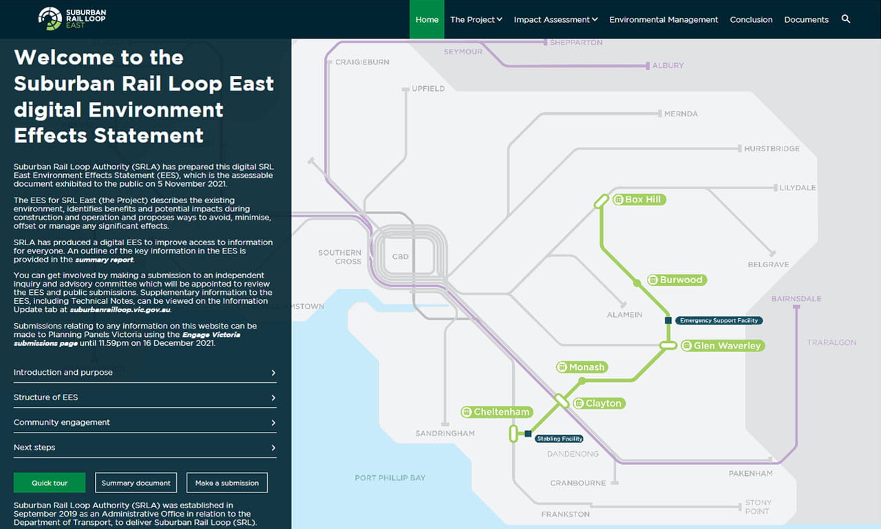
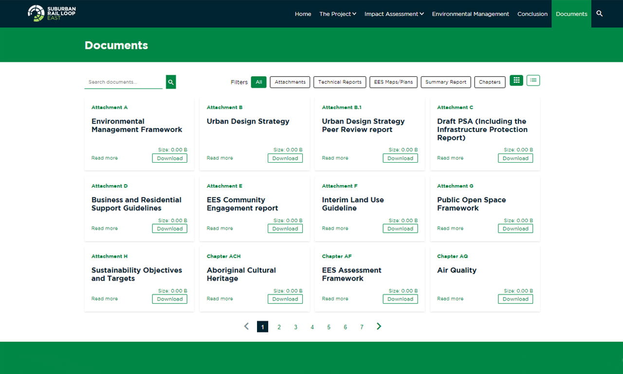
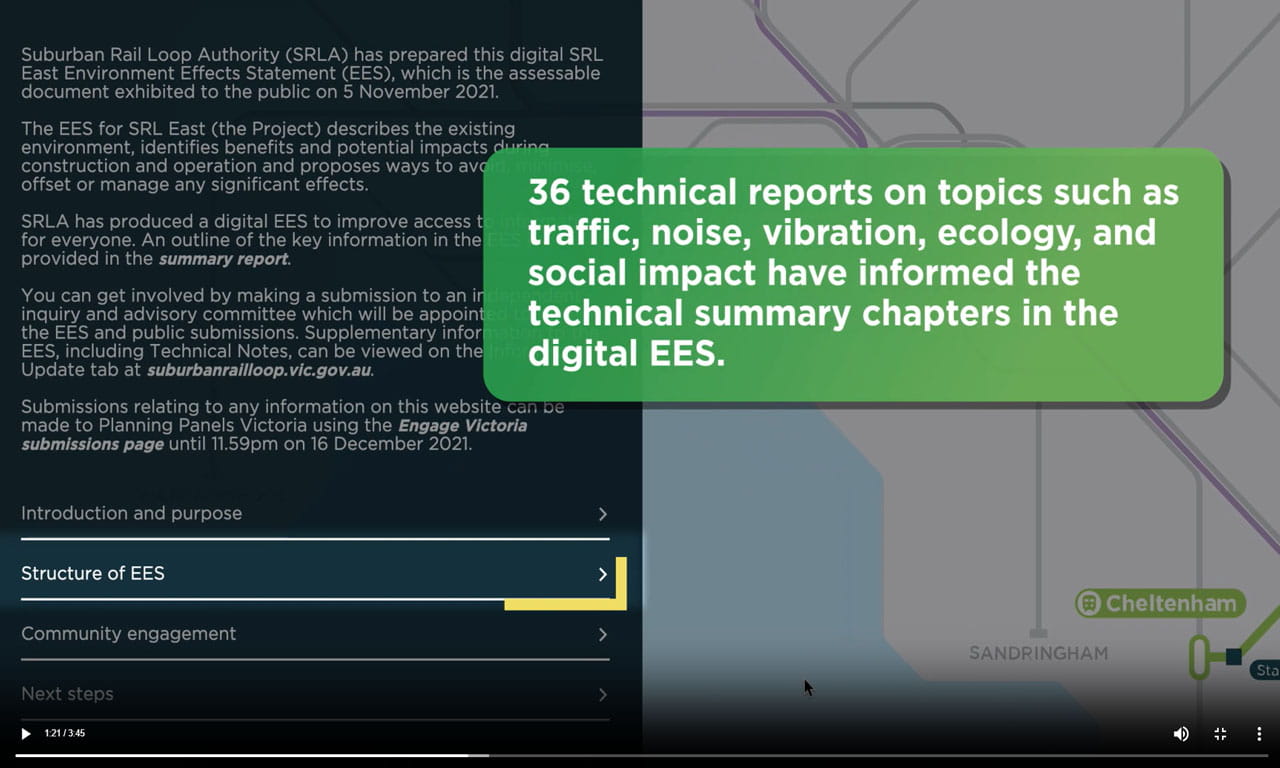
One challenge was being able to achieve the balance between the volume of technical information required in an EES and making sure information was easily digestible by the general public and project stakeholders. In response, the website provides impact assessment content, official documents, video, spatial and non-spatial visualisations.
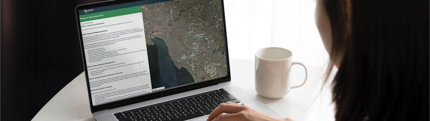
Interactive text and mapping allows users to query, search, zoom and select datasets for further information, not possible with an EES traditionally printed on paper. The information on the maps is also able to be scaled and panned around.
The digital report, which made the equivalent of 33,000 pages of technical information easy to access and navigate, is a step change in the way that the Victorian Government and project stakeholders can visualise EES data and information. The application has relevancy to any other infrastructure project requiring the presentation of technical information in an interactive format.
Another key benefit of the digital presentation is its ability to weave reporting and spatial information together for greater understanding of information, together with being an engaging experience. By presenting the information digitally, people can access the information in a much easier and more fluid way that suits each person individually.
The AJM-JV worked collaboratively with Suburban Rail Loop Authority to prepare the EES for the new underground train stations, rail tunnels, interchange works, surface elements, stabling yard and facilities, as well as supporting rail infrastructure.
The statement described the existing environment, identifies benefits and potential impacts during construction and operation, and proposes measures to avoid, minimise, offset or manage any significant effects. Explanations, descriptions and plans depicting the key project elements were included along with a description of the construction methodology. All the project elements were based on a reference design, which formed the basis of the impact evaluation presented in the EES.
An EES is a crucial decision-making tool to understand the environmental, social and health impacts of projects.
The EES is an assessment of the proposed feasible way to deliver the project and achieve acceptable outcomes in accordance with the scoping requirements set by the Victorian Minister for Planning. Developing the EES was a transparent process that included public exhibition of the studies and reports underpinning the assessment, and opportunities for public submissions.
It informs a crucial decision-making point within the project’s planning procedure to consider the environmental, social, cultural, health and well-being impacts of projects. The public review and panel hearing process was conducted following submission of the EES, with Victoria’s Minister for Planning endorsing the document, which enables the project to progress to further stages.
The digital EES contains more than 110 web-based maps and more than 1,000 different layers of references of information, and remains online for the life of the project as a reference document for the public and project stakeholders.
The digital EES was a finalist in the Innovation Excellence and Industry Choice categories at the 2023 National Infrastructure Awards.
Aurecon is transforming Sydney Harbour, replacing dredging with TBM tunnel engineering to deliver a faster, safer and more sustainable second harbour crossing.
Aurecon's active transport design expertise supports TfNSW to create a seamless, unobtrusive, step-free ramp and cycleway across Sydney Harbour Bridge.
Aurecon leads building services engineering for the New WCH to deliver a 100% all-electric tertiary hospital for South Australian women and children.