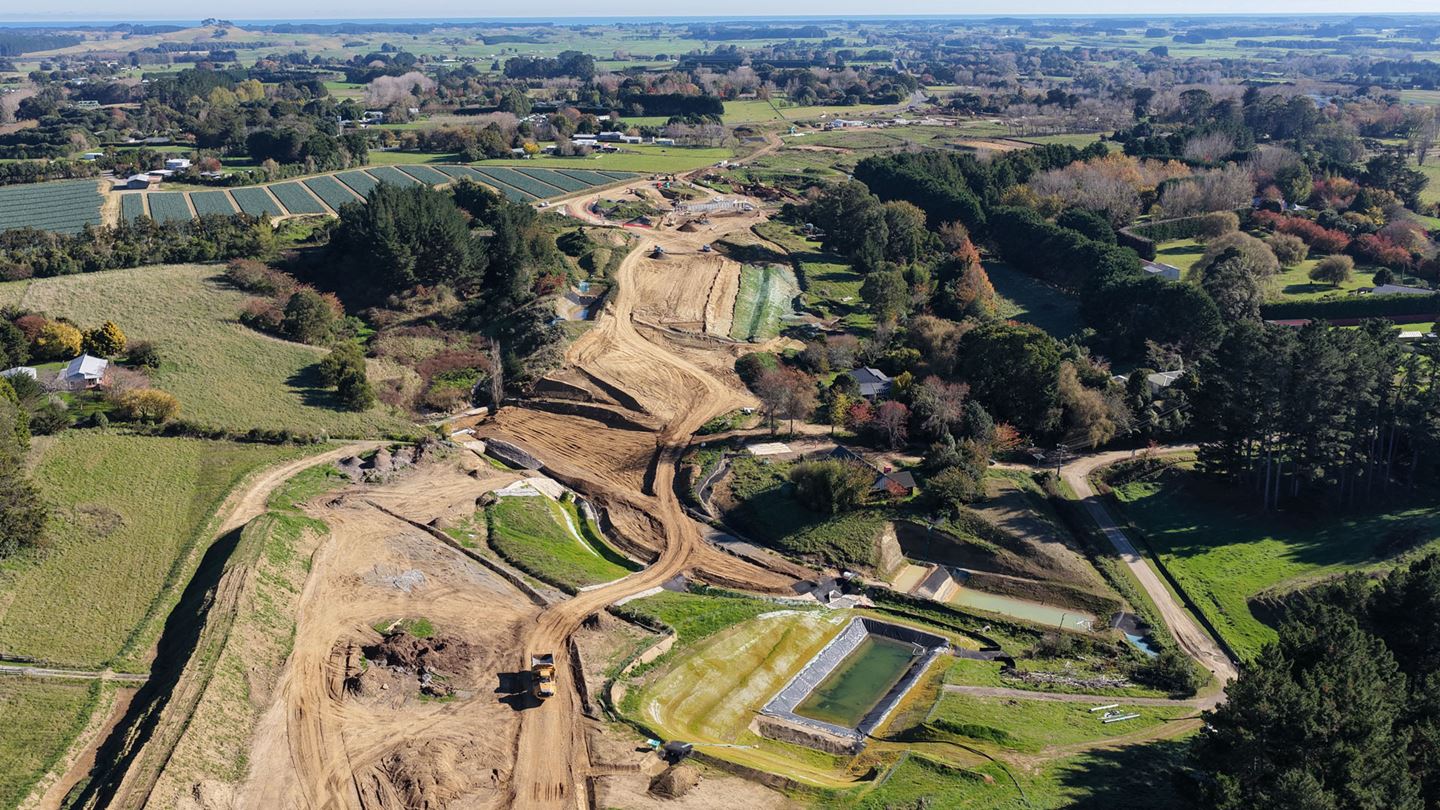

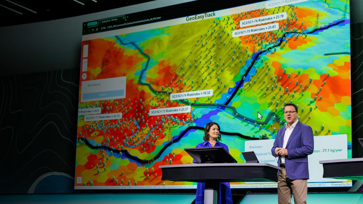
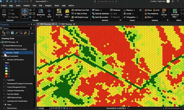
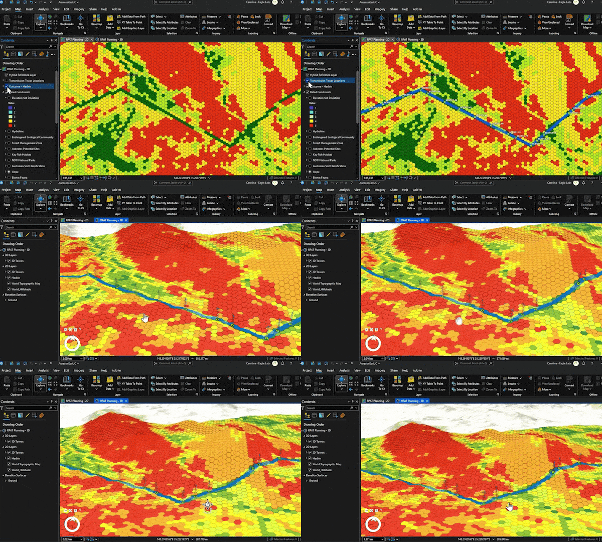
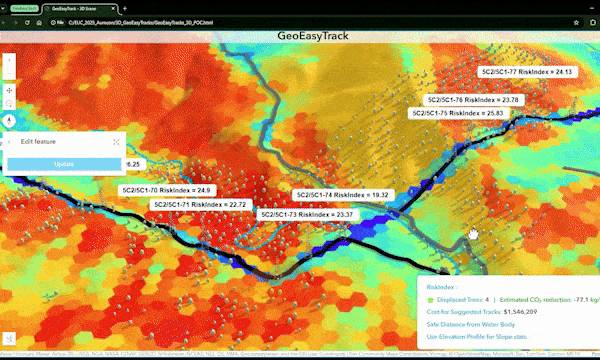
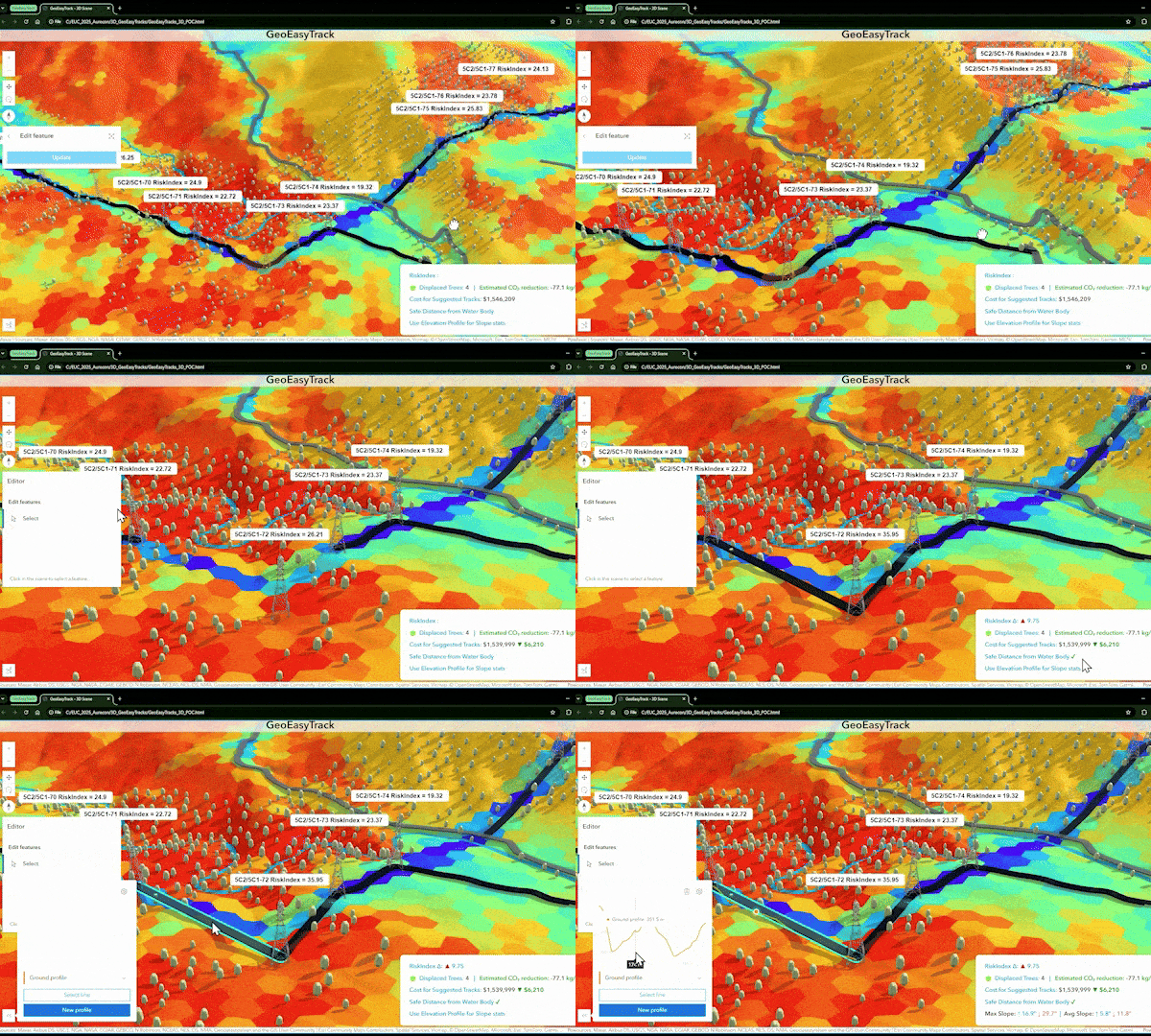
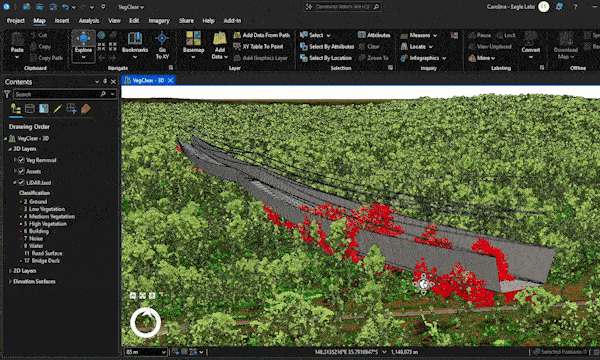
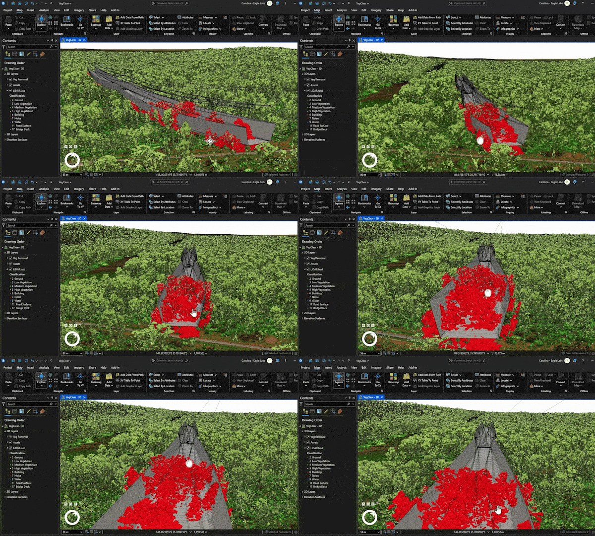
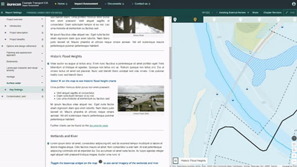
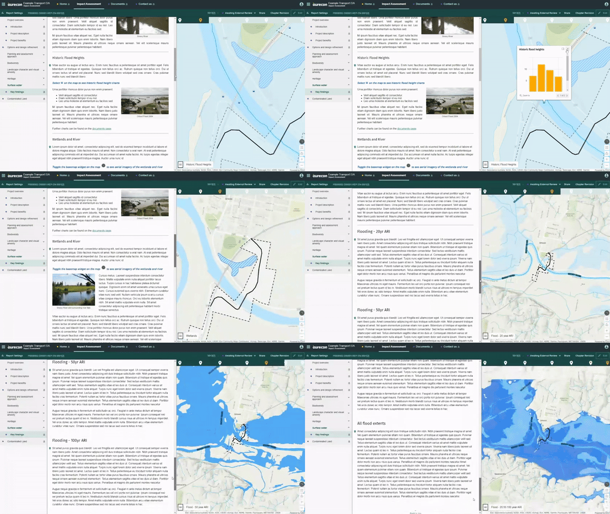
Our digital ecosystem identifies optimal infrastructure sites with least constraints, calculates the minimum land or vegetation clearance, de-risks field team access to remote areas, and transforms complex environmental data into clear, visual stories for clients, communities, and regulators.
When applied to Transgrid’s EnergyConnect, using RPAT© route-planning assessment tool and GeoEasyTrack©, Aurecon enabled data-driven assessments of tower locations and span lengths, and automated preliminary concept design of access tracks to all tower locations.
This helped to optimise the route and minimise the number of structures, whilst reducing both environment and social impacts.