
Geospatial information could allow us build out the eco-system of the virtual world to optimise physical interactions to create better urban environments and designs.
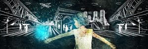
In today’s digital world, it’s possible to ‘exist’ in many places at once. Geospatial data, which is data used to describe the location of things beneath, on or above the earth's surface, makes it possible for objects to exist in real life and virtually. Geospatial systems allow for the capturing of data on a massive scale, and this digital world could co-exist in parallel to the real world.
In our real world, only objects in close proximity to each other interact with each other; and often, it is only a small portion of their characteristics that ‘collide’. In the digital world, however, that’s not the case. One object ‘understands’ the properties of the other object.
Imagine for a moment that these two worlds could interact…what would happen if these parallel universes collided? Could the digital world enhance interactions in the physical world? Could they help improve them, even?
Improving our interactions
Many problems exists because of a lack of interaction between objects. A car doesn’t know that a pedestrian is crossing the road. A room doesn’t know how many people are actually in it. A road doesn’t know how many cars are on it or the number of passengers in each car. However, a digital world using a geospatial platform can.
And if it does, it could start to order/organise these things and look for ways to optimise physical interactions. If a GPS system knew where a car is; and a person was wearing an intelligent device (a phone, a fitbit etc.), then the person’s location would also be known and the car would automatically know that they are crossing a road, even if they might be around a bend in the road or out of sight or if this were to happen at night.
Is geospatial information the elixir for improving the design of cities and their management? Is it the powerful connection that could allow us to build out the eco-system of the virtual world using trillions and trillions of pieces of information so that we’re able to enhance interoperability between the physical and virtual in future?
How far can we push the boundaries of utilising geospatial information to create better urban environments and designs? How do we leverage digital technologies, and the masses of data they produce, and harness this powerful resource to design smarter, more integrated and rewarding urban environments?
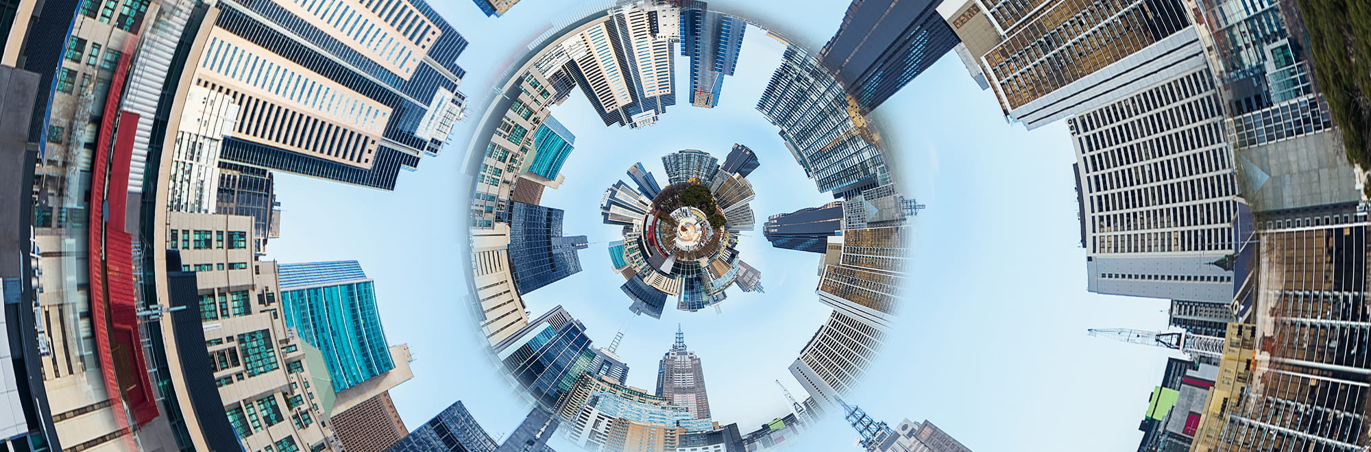
Smarter future cities
 It is likely that our future cities will employ sensors to capture real time aural, environmental, and usage information about how consumers interact with buildings and their precincts, and we will use this information to design an intuitively functional built environment.
Critical infrastructure such as transport networks, health systems, water and sanitation or utilities will be designed using digital awareness so that they can be performance managed, with updates and iterations planned and delivered to cope with growth and varying demand requirements.
Smart city design in future will be about unifying geospatial technologies to facilitate information capture, storage and manipulation in order to model designs, test scenarios and to improve liveability, operational efficiency and inform future planning. Instant access to this rich data will underpin responses to changes in people movement, emergency scenarios, extreme weather events and supply/demand requirements of the urban environment.
A smart, future city will have at its core a mass of evolving, relational and interoperable data (the virtual world) with which the physical world will be inexorably linked to create new and better cities for all.
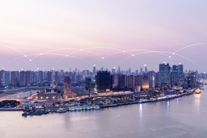
And here is the really interesting thing... We are doing this already (on a smaller scale at least). The geospatial technology already exists. Geospatial platforms are now being applied to data capture on very large infrastructure projects, providing substantial benefits to how they are constructed and operated. Scaling up to a network or system level or a community or city level is only a heartbeat away.