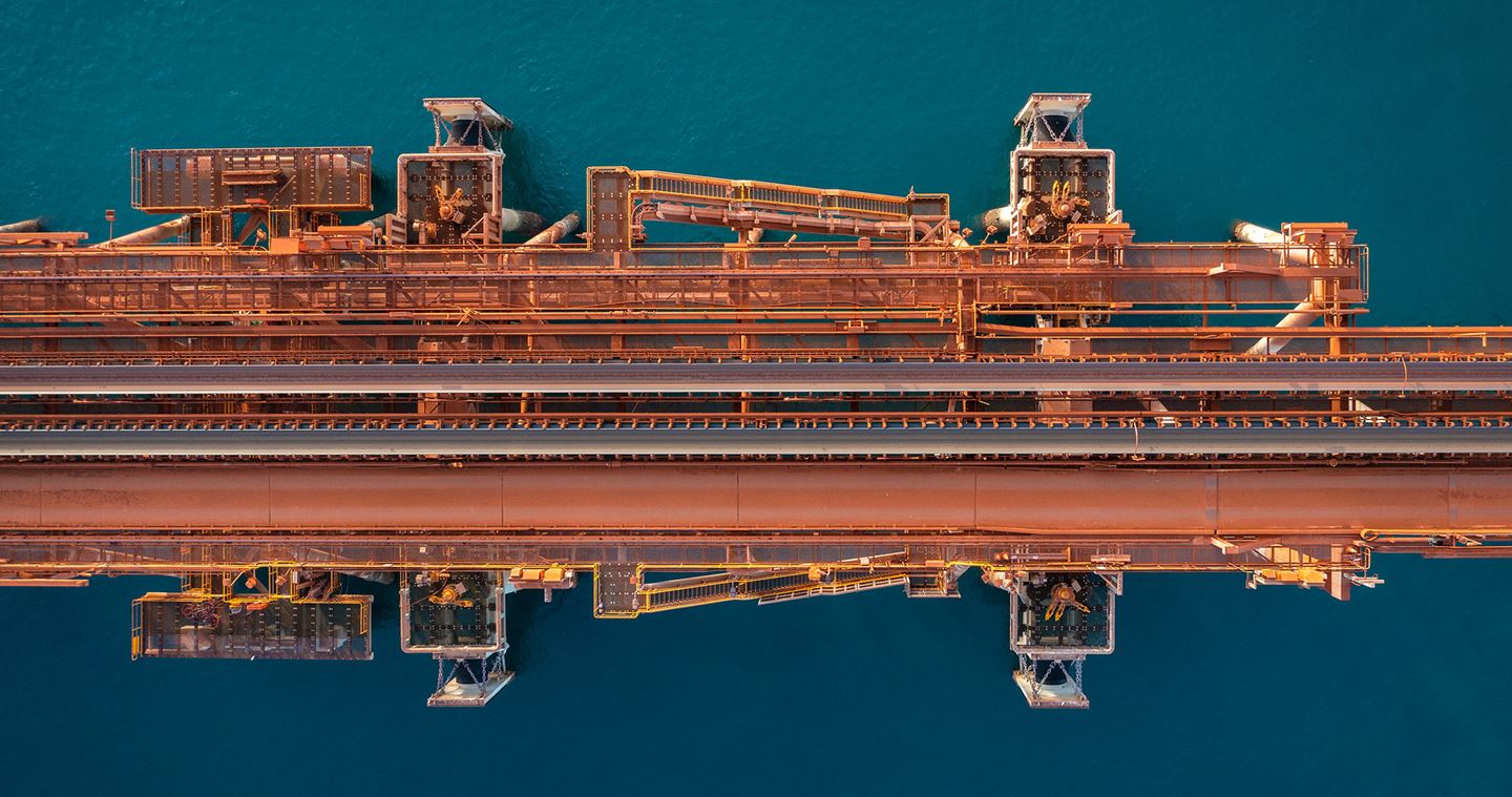
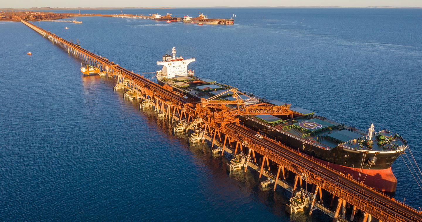
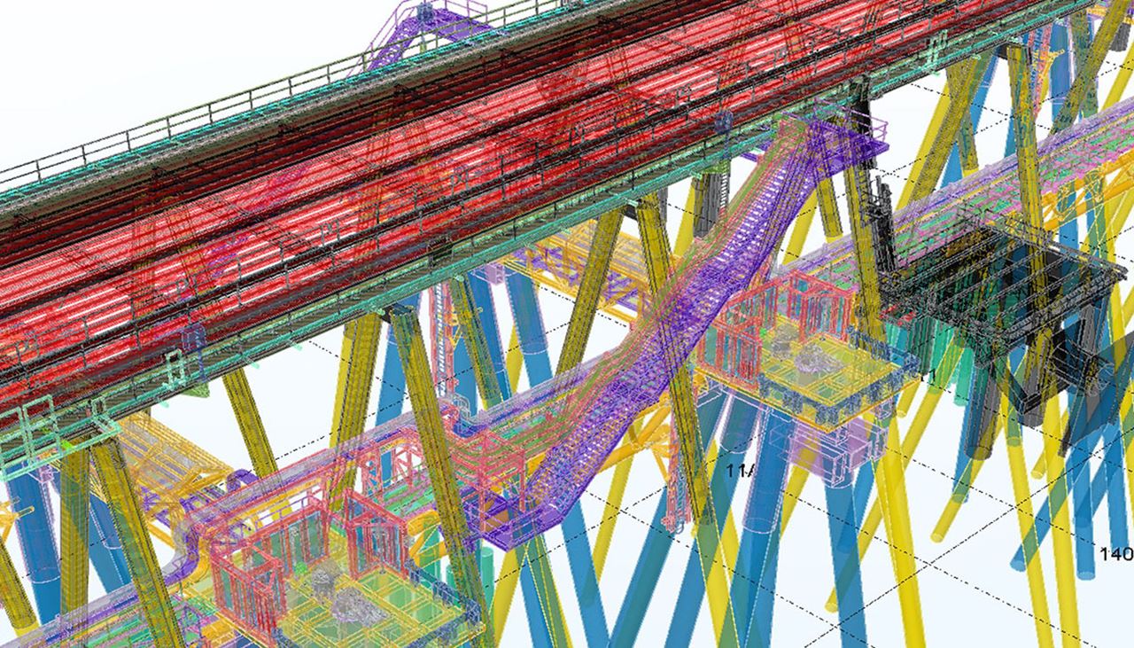
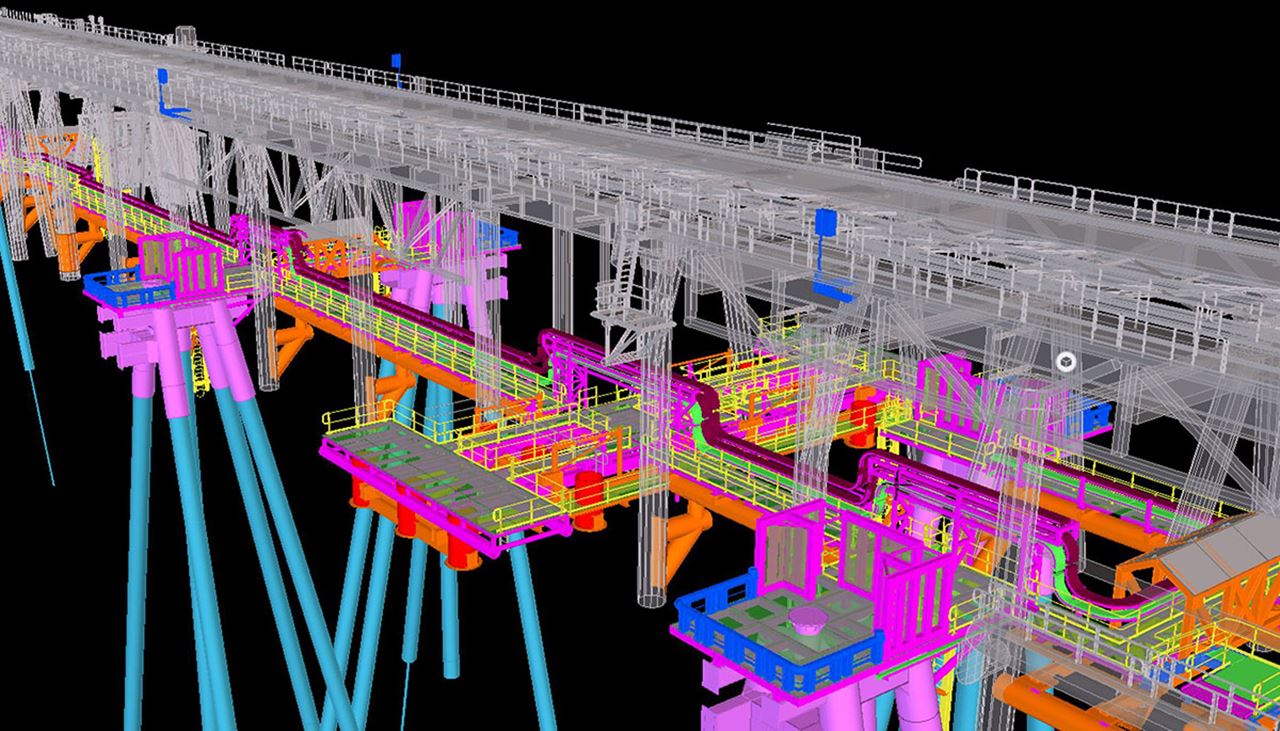
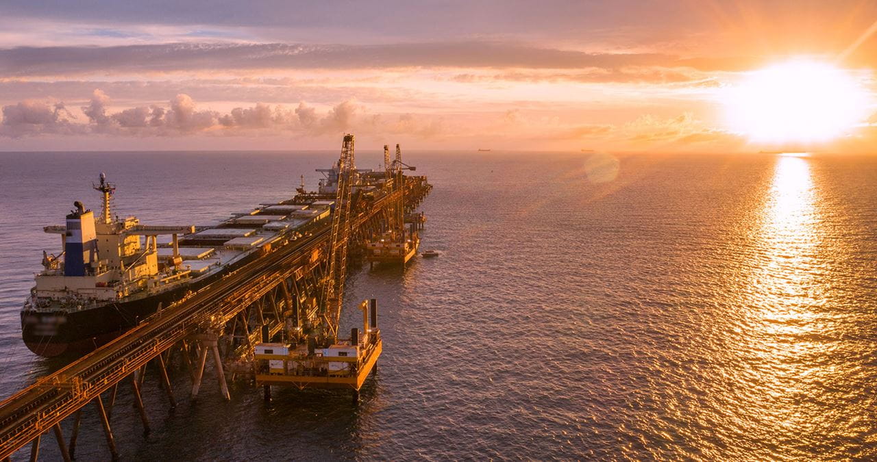
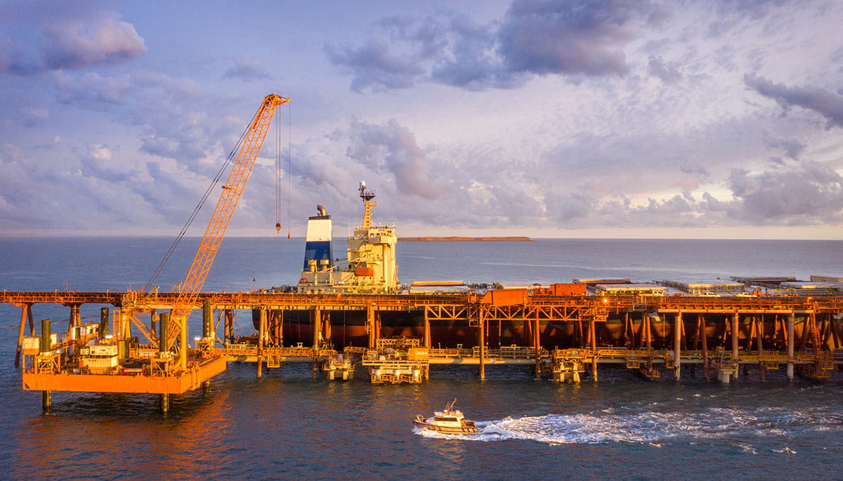
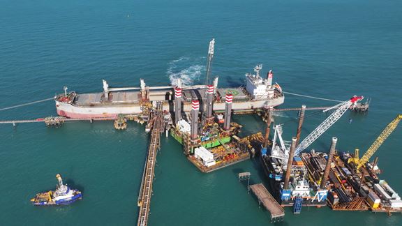
Cape Lambert is a port facility operated by Rio Tinto Iron Ore (RTIO) in the Pilbara region of Western Australia. The use of 3D modelling and digital surveying in the early design of upgrading the facility’s dolphin structures, a complex sustaining capital project, reduced upfront construction costs for RTIO by approximately AUD 80 million. The digital approach meant that risks were identified and addressed early to manage spatial integration with existing structures and hazards before onsite construction commenced.
The identification and effective communication of these risks, and facilitation of multidisciplinary collaboration between Aurecon and Rio Tinto early in the design process, allowed for greater confidence in asset decision-making around the dolphin structure and walkway design.
Through the use of 3D digital twin modelling, to consolidate and integrate field and design data from various disciplines in all project stages, and innovation in design, detailing, fabrication and installation, efficiencies were realised that, had they not been, would have increased on-site construction time by approximately 2.5 years.
The strengthened jetty also updates the existing design to current Australian design standards, which require strength and resilience to 1 in 500 year cyclonic events.
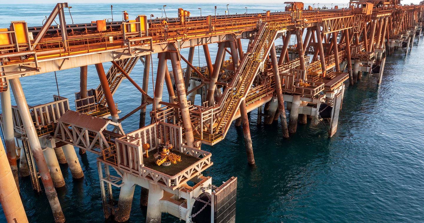
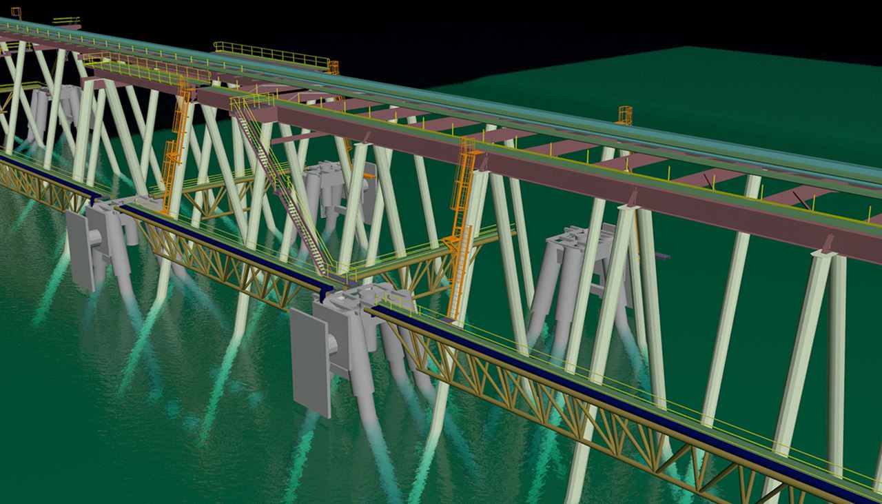
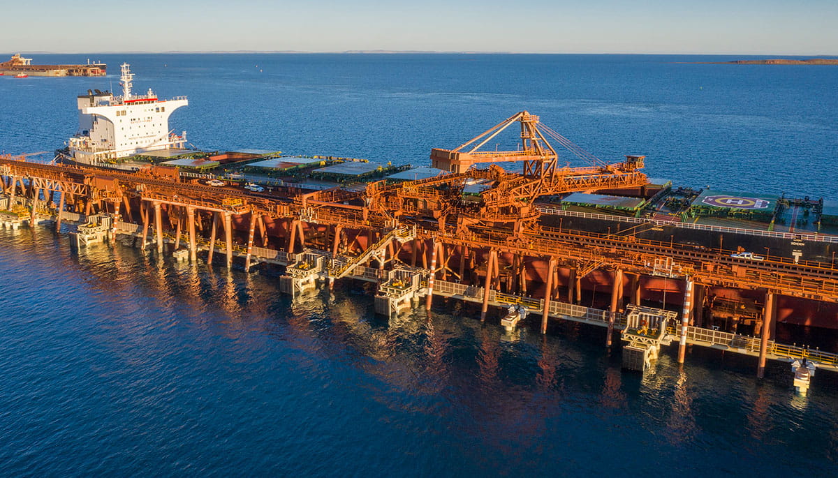
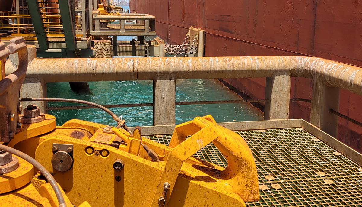
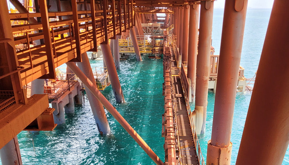
Dolphins are critical infrastructure used to berth and safely moor vessels alongside the wharf for iron ore outloading. As a result of this project, the access to dolphins has significantly improved with a newly installed network of walkways and stairs, creating and protecting the value of this facility.
Vessels up to 300 metres in length are accommodated while separated safely from maintenance and operational personnel. The dolphins act as a buffer to absorb load and ensure that there is no impact on maintenance and operational staff working on the wharfs.
Virtual reality informs decision making
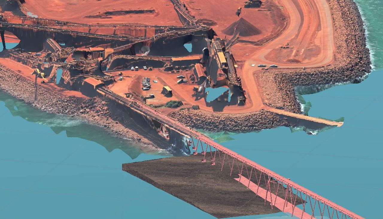
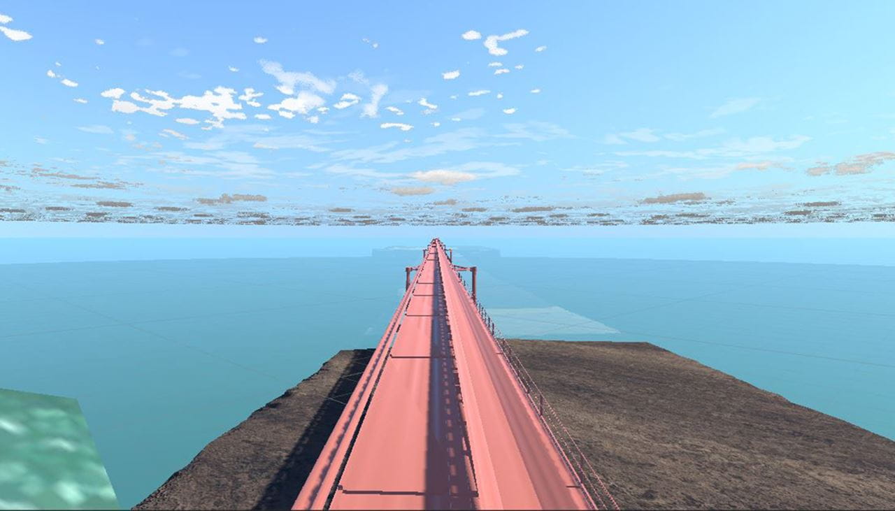
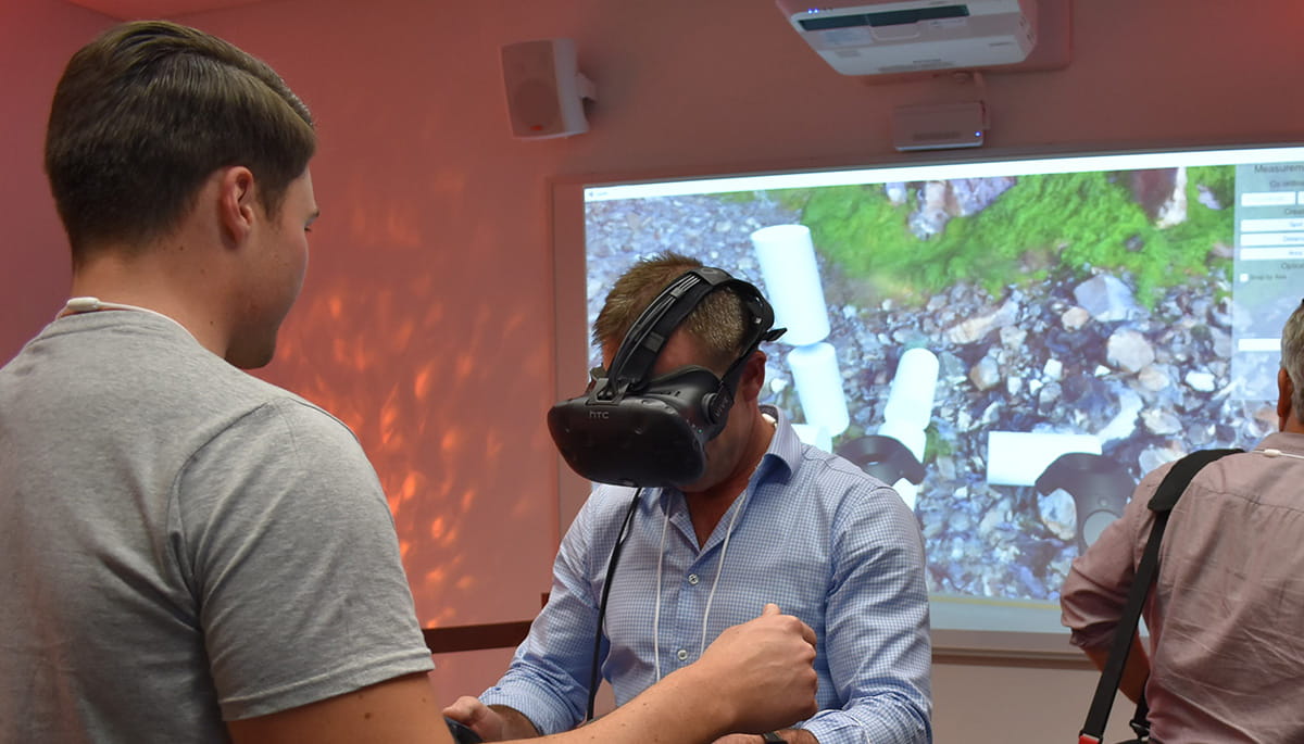
At initial project stages, existing 3D model data was converted into a virtual reality environment for RTIO and stakeholders to be immersed in, to gain a full appreciation of the project’s construction and operation. This supported the following early data collection activities:
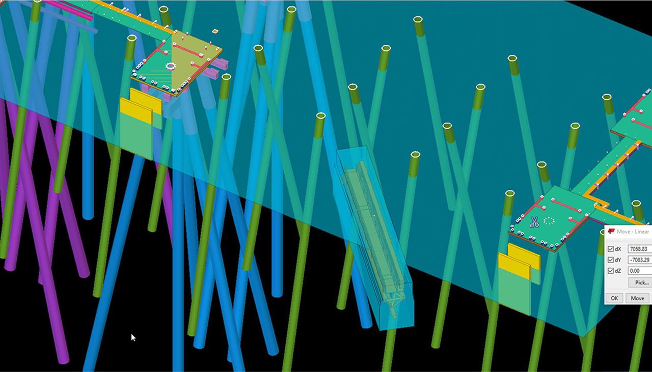
- Cloud point data from underwater sonar survey works to confirm size and location of existing structures/obstructions
- Cloud point data from LiDAR to confirm size and location of existing structures above water
- Geophysical surveys to inform a targeted geotechnical drilling campaign
This information was used throughout all project phases including construction and close-out. The engineering design provided assurance in the required levels and lengths of materials because they were going to be fabricated offshore and shipped to site. If the dimensions had not been within the contractor’s tolerances, it would have affected the project’s timeframe to re-manufacture (or modify) materials and re-transport assemblies to site.