


Maria Rampa: What if the smell of a leaf, the sound it makes when it’s crushed, or the feel of its surface, could tell us just as much about bushfire risk as a satellite in space?
Indigenous communities’ ability to read the landscape with all five senses to assess fire risk is just one fascinating insight in this episode of Engineering Reimagined.
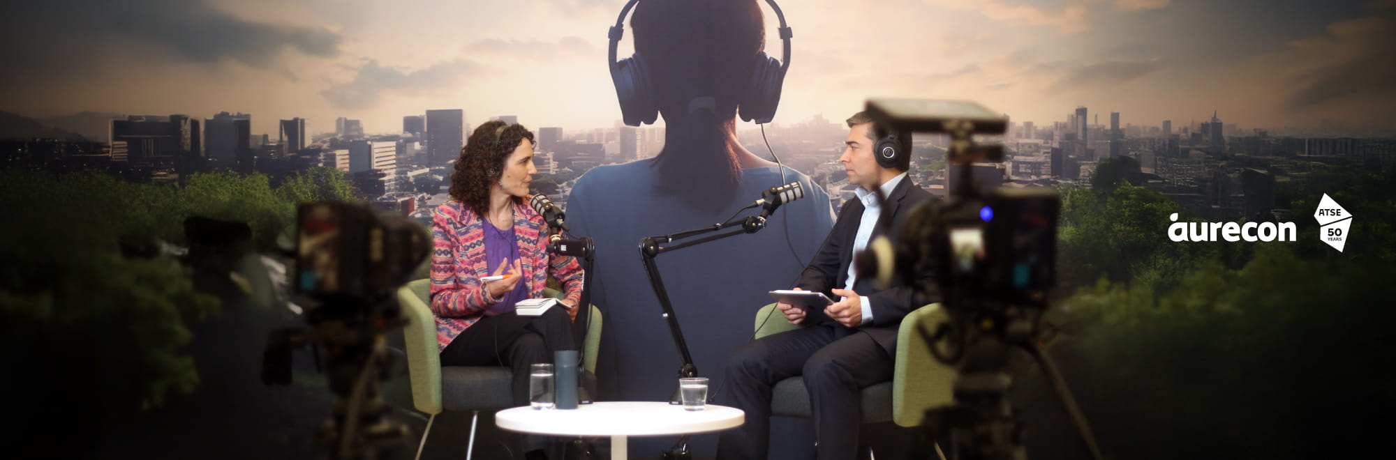
Hi, I’m Maria Rampa and welcome to today’s episode, which was recorded live at the 2025 CAETS Conference in partnership with the Australian Academy of Technological Sciences and Engineering, or ATSE.
Bushfires are becoming more frequent, intense, far-reaching and complex. We have witnessed yet again destructive bushfires in regional Victoria this year, spreading across an area more than five times the size of Singapore, destroying hundreds of structures and many lives. In this episode, we explore how engineering-led innovation is transforming the way communities across Asia Pacific predict, prepare for and respond to fires, including the integration of Indigenous knowledge with scientific research to strengthen infrastructure and community resilience.
In this conversation, Aurecon’s Client Director, Australia Transportation, Santiago Estrada, is joined by Dr Marta Yebra, Professor of Environmental Engineering at the Australian National University and Director of the Bushfire Research Centre of Excellence.
Rather than viewing bushfire resilience as a reaction to crisis, this conversation reimagines it as a proactive, systems-based approach, blending advanced remote sensing, local knowledge and smarter infrastructure planning to better protect fire-prone communities.
+++++
Santiago Estrada: Hello and welcome to Engineering Reimagined, I'm actually very excited about today's podcast as it touches on the importance of building resilient infrastructure and communities. I'm joined by Dr Marta Yebra, a globally recognised leader in remote sensing for fire risk management. I'm really happy to have you here, thank you.
Marta Yebra: Thanks for having me.
Santiago Estrada: You built your career at the intersection of environmental science, engineering, technology. Can you tell us what inspired you to work in bushfire risk management?
Marta Yebra: Well, it was a bit unexpected. So, when I was studying my degree in Spain, I volunteered for a field campaign in a national park that aimed to collect data for the calibration and validation of a satellite-based system for fire risk. And that really sparked my interest on earth observation technologies. It was quite amazing to see how sensors thousands of kilometres above us could give us so many information about matters on earth. Growing up in Spain, in a Mediterranean country, I also grew up seeing bushfires and I thought applying that earth observation technology to solve or mitigate a bushfire was a good thing to do. It was a real problem that I could contribute. So I spent some time in Australia doing my PhD studies and then I realised that in Australia, fire is not only a hazard, it's part of the ecosystem. It's really embedded in the culture of Indigenous communities. I found that very fascinating and I wanted to learn more, so I came to Australia initially for another research opportunity but soon I focused again on bushfires and today my day-to-day passion is driven by the application. I really want to make more resilient communities and any technology that will help me to achieve that aim is part of my toolbox.
Santiago Estrada: So at the CAETS 2025 themed Generations, it's all about shaping the next 50 years. Looking ahead to 2075, what do you think resilience could look like against its various hazards? And what choices do we need to make today to make it all happen?
Marta Yebra: I'm going to mainly focus on bushfires, wildfires. My vision for 2075 is that we can again go back to see fire as part of our ecosystem, not as a hazard, but as something we can live with without any fear. This vision has been in our Indigenous communities for very long, but I just want to bring that back to the society, but also to scale it to the fire systems that we have today that are more intense, more frequent. And for that, we need to reimagine how we can live with fires in today's and into the future climate. What I see is a kind of a global wildfire system that give us a lot of information about our earth. Where are the dangers? Where are the limitations? Where are the ignition sources? Just as an analogy, we could use our nervous system in our body. We have a lot of sensors that protect our body from danger. So, we can have lots of sensors, smart technologies, that is protecting us from fire. So, we can be more proactive to fire, not responsive. When it comes to bushfire management, we tend to be more reactive. We wait for a fire to come and then we put a lot of resources, and we try to stop it, but we need to be shifting to more proactive real-time information that give us advances to mitigate but also to detect fires when they are small and there are better chances to extinguish them.
Santiago Estrada: So I've read a couple of your papers, and I've seen the focus you've had on technology, such as satellite detection, drones for fire prediction models. Is there anything in particular that you have seen in terms of technological advancements like AI and how we might be able to use that for the proactive management of fires?
Marta Yebra: There are a lot of technologies that can help, and my vision is always that not a single technology can solve the issue. We need to have an integrated system. I call it like a layer cake with different layers of information that all together fill gaps in capability. So for example, we do have satellites that are orbiting kilometres above us and give us the big picture of the landscape. How dry the vegetation is, the drier, the more prone the landscape is to fire and fast spread. Satellites can also give us information about the lightning strikes. The natural source of ignitions. Usually, these lightning strikes happen in very remote areas late in the evening after a big storm. So those ignitions are hard to detect. Having information from space and ground sensors that can give us the accurate location of strikes can substantially help to know where potential ignitions are. But we also have machine learning AI that integrates this information about fuel, strikes, characteristics, weather, to know what's the probability of a lightning strike to ignite. Then you can deploy resources to search for those ignitions to a few locations, not to thousands of strikes that a storm may contain. Satellites can also be used to detect ignitions themselves. They have thermal sensors that can detect the heat of the fire, but they have some limitations when it comes to detecting small fires, because of the spatial or the temporal resolution, they collect the data. So, we also need to integrate this satellite information with ground sensors and therefore they may have better chances to detect small fires. And some of the ground sensors develop IoT systems that detect the smoke. These sensors usually have little coverage in terms of the landscape they can cover but they do place them strategically in areas of high risk or blind spots for other technologies, they can fill gaps for areas of high ecological value. Another technology are drones. They have very dynamic range. So they can fly very quickly to a location to verify if there has been a fire or not. These are very long endurance drones that can fly for eight hours, as fast as 120 kilometres per hour, so they can really be fast to be deployed.
Santiago Estrada: We know that climate change has increased the risk of recurrence of multiple hazards. How can we develop hazard diagnostic resilience strategies that work across different scenarios?
Marta Yebra: We have cascade effects, we have hazards that come one after the other or simultaneously accelerate the impacts, droughts, heat waves, bushfires, floods. So, we need systems that are agnostic to the hazards and work in combination. I could give you a particular example of a technology that could work across hazards. Drones can be equally useful for flood or for fire and rescue or for looking at the impacts of any hazard after it hits. The goal here is to try to have technologies that are modular, that can be deployed for different hazards and to achieve that, perhaps we need to have some common infrastructure that is shared. So, if you build a system with technology that can be applied to different hazards, you not only reduce the cost, but you make it more efficient.
Santiago Estrada: So remote sensing, AI, drones, are revolutionising hazard prediction, but also the way we respond to hazards. Are you able to share some examples of how we are already applying these tools and technologies in practise and where have we actually delivered some success?
Marta Yebra: We do have the Australian Flammability Monitoring System to predict fuel moisture content levels, so dryness in the landscape, and with that, where or when fires may start. That system is being used to know where we can conduct prescribed burns. Prescribed burns are planned burns that land managers and farm managers conduct in the landscape to reduce the fuel and with that the potential fire severity of a fire that may ignite in a specific area. The window of opportunities to conduct those fires are shrinking because the weather conditions are getting a bit more tricky. So knowing when the fuel is ready to burn but not too dry, so the fire may not escape out of control. We also see a lot of camera systems implemented in fire towers. Traditionally during the fire season, we had people on fire towers looking for signs of the smoke. But these systems don't work 24/7. These towers cannot be monitored with humans when we need them most, in times with very high fire risk, because it's not safe for a human to be in the middle of nowhere. So, we are replacing this with cameras on fire towers and AI algorithms that can very quickly detect smoke and send alerts to the headquarters of our rural fire service.
Santiago Estrada: A lot of your work integrates Indigenous knowledge with scientific research. How can these two knowledge systems complement each other to help us improving resilience of infrastructure and communities?
Marta Yebra: I recently started with a pilot project around improving a live fuel moisture content probe. So, with satellites, we sense solar radiation and we run some algorithms and we convert that radiance into fuel moisture content. Indigenous communities look at the landscape in a more integrated way, and they sense the landscape with all their five senses. They smell it, with the smell they know how much oil the vegetation has. They touch it, they crunch the leaves and they know how much moisture they may have, depending on the feeling of those leaves and the sound of the crunchiness of the leaves, so it's pretty amazing. So basically, with this project, we were able to sense the landscape with any possible senses. And what we found is that that local knowledge indeed correlates quite well with what we see with the satellite.
Santiago Estrada: What lessons can Australia share with the world and vice versa? What can we learn from other countries to help informing our approach to hazard management?
Marta Yebra: Climate change is changing fire regimes globally. So, it's not a unique problem of Australia, of Canada, of California. It's really a global issue. We are seeing fires that behave differently to what we've seen in the past all over the world and we are seeing regions of the world that are traditionally not prone to fires, that now are burning. So, we really have a challenging wildfire situation. We really need to bring innovative solutions to it. So, we cannot continue doing business as usual when it comes to fire management. We really need to reinvent how we do things and implement more clever ways to manage the fires. As we have discussed, the use of technology can help, and we are learning, different countries from each other, on which technologies have worked or not worked and in which situations. And we have also learned that we need to work together to bring smarter technologies that can help each other. When it comes to using satellites for detecting fires, we still don't have a system that have enough spatial and temporal resolution to allow us to detect the fires when they are small. Most of the satellites we use are low Earth orbit, so they collect data perhaps twice a day. That's not sufficient for detecting fires when they are small. So we need more frequency of acquisition. On the other side, we have some geostationary satellites that look at the same spot of the land, collecting data every 10 minutes. But they have very broad spatial resolution. The pixel resolution is two kilometres, so you can imagine a fire needs to be substantially big to be detected in those systems. What we have learned is that we need that constellation of lower Earth orbit satellites that can give us both spatial and temporal resolution. And to get there, we need collaboration between countries. So, each country contributes to the constellation with their own satellites and ultimately, we will have a virtual constellation of satellites that provide information that is accessible to all. In terms of Australian learnings, we have a lot to learn in terms of satellite capability. Our space industry in space is relatively young. We don't have space assets for Earth observation, but we do have a unique capability to contribute to the world with space assets that help to mitigate bushfires. At the Australian National University, we are working on a specific satellite that we call OzFuel that is specifically designed to better monitor the flammability of the forest by monitoring oil contents, cellulose, dry matter and many variables that are related to flammability. And this is really a unique global contribution. There is no other country that is looking at building this kind of space payload to monitor this parameter.
Santiago Estrada: Marta, thank you so much for your time. It's been great having you on our podcast, and I look forward to see where your research and all these new technologies take us in the space of infrastructure resilience. Thank you so much.
Marta Yebra: Thanks to you, Santiago.
Maria Rampa: I hope you enjoyed this episode of Engineering Reimagined.
It’s fascinating to hear Dr Yebra share her insight on how technology, collaboration and Indigenous knowledge can come together to transform the way we manage bushfire risk.
If you enjoyed this episode, hit subscribe on Apple or Spotify and don’t forget to follow Aurecon on your favourite social media platform to stay up to date and join the conversation.
Until next time, thanks for listening.
Transforming bushfire resilience through engineering-led innovation
Bushfires are becoming more frequent, intense, far-reaching and complex. How can we reimagine bushfire resilience with a more proactive, systems-based approach?
In this episode of Engineering Reimagined recorded live at the CAETS conference in Brisbane, Aurecon’s Client Director, Australia Transportation, Santiago Estrada, sits down with Dr Marta Yebra, a Professor of Environmental Engineering at the Australian National University and Director of the Bushfire Research Centre of Excellence.
Dr Yebra shares how engineering-led innovation is transforming the way we predict, prepare for and respond to fire and other natural hazards.
Drawing on her work across satellite monitoring, AI-driven analytics and drones, Dr Yebra outlines a vision for a globally connected hazard intelligence system, enabling earlier detection for fire prone communities.
The episode also explores how integrating Indigenous land management knowledge with scientific research can unlock a deeper understanding of landscapes, support cultural burning practices and strengthen resilience across generations.
Additional resources
- Bushfire Research Centre of Excellence
- Drones may soon be fighting Australia’s bushfires
- Australian Flammability Monitoring System
- Developing fuel moisture sensing satellites for fire management with Indigenous knowledge
- Australian National University OzFuel-1 Satellite Payload Mission
- ATSE
- CAETS 2025
- Seven global leaders join Aurecon and ATSE on podcast
- Sharpening investment in climate resilience for Australia's infrastructure


