
Flexing the transport network: Increasing transport choice and availability
Cities around the world are developing and expanding public transport to provide greater choice and connectivity for communities, delivering low carbon transport options.



Change your location to view content tailored for you.
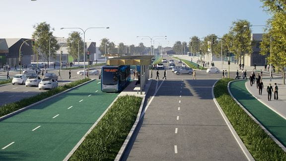
When you look at a road network, what do you see? For transport planners, there’s a series of different “corridors” that do very different things. Does a particular road serve buses or light rail? Is it focused on pedestrians and people who want to enjoy the place? Maybe its main role is to provide traffic throughput.
If we understand the specific functions of each corridor, we can determine performance measures that best reflect its use, and model the asset lifecycle accordingly. Sounds like a straightforward approach, right?
For many years, roads have been evaluated on standard metrics, such as asphalt quality, average speed, and traffic throughput. That is useful information, but it’s not a direct measure of how well the road and its environment is serving the people who use it. If we can better align what a corridor is used for with how we measure its effectiveness, we can better ensure its reliability over time.
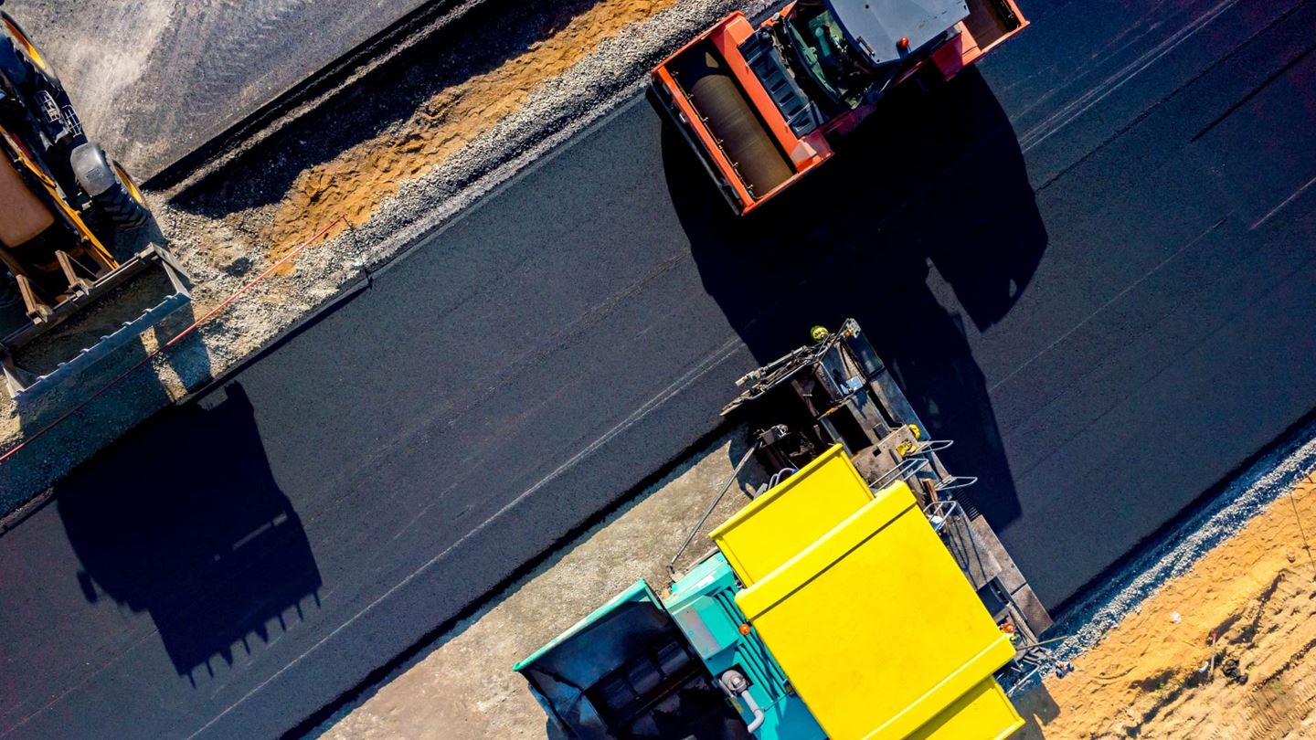
Roadworks are a fact of life, but the way we schedule them can be smarter. Ordinarily, roadworks are mapped out well in advance, to a certain timetable.
It’s a bit like going to the doctor every two months, and requesting antibiotics for the sake of it. If the medicine isn’t necessary, it might make things worse. On the other hand, waiting too long might lead to more severe health issues and cause discomfort and pain. And so it proves for roads.
We need a more data-driven, proactive approach to determine when intervention is actually necessary. This benefits everyone – not least frustrated motorists! It also saves money, and helps the infrastructure to become more sustainable over a longer period, too.
I’m a transport planner and civil engineer who moved to Australia from the Netherlands two years ago. Given my background, it’s probably not surprising that I believe in active transport – walking, public transport, and cycling especially. I’m also passionate about how different transport corridors can be better integrated.
If your transport network is better integrated, people will have more transport options to meet their particular needs on any given trip. This takes forward planning, but the results are well worth the investment. The Netherlands is famously friendly towards cyclists, and for integrating its transport network, but it took several decades of planning. Australia has a lot of potential in this regard.
Different corridors might serve different functions, and each function has its own performance measures related to the operation and maintenance of the corridor. It’s these performance measures and the diversity of users that deserve greater attention, as they provide new opportunities for the network to serve more people, and perform better.
A road network consists of several tiers – motorways, arterials, and local roads. It also includes less obvious or out-of-sight things, including:
When you look at maintaining all of these things, it pays to think about the complete network. As you prepare to fix one thing, how might you improve a related piece of infrastructure? Or how might you improve elements of the network, instead of just providing upkeep?
You can potentially save lots of time and money by integrating the design and works process. A corridor reliability-based method helps us to do this. It also avoids silos of unnecessary activity taking place. Aiming to have less frequent roadworks? That’s one metric I think everyone can agree on.

Transport Leader – VIC & SA, Australia

Principal, Transport – New Zealand
Cities around the world are developing and expanding public transport to provide greater choice and connectivity for communities, delivering low carbon transport options.
Stormwater management reflects the full complexity of water reform. From the UK's experience, five lessons Aotearoa's water sector cannot afford to overlook.
Australia's energy transition requires more than technical plans. Discover four ways to build the people, culture and capability to deliver infrastructure at scale.