Western Harbour Tunnel, Sydney, NSW, Australia
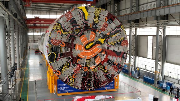
Aurecon is transforming Sydney Harbour, replacing dredging with TBM tunnel engineering to deliver a faster, safer and more sustainable second harbour crossing.


Change your location to view content tailored for you.
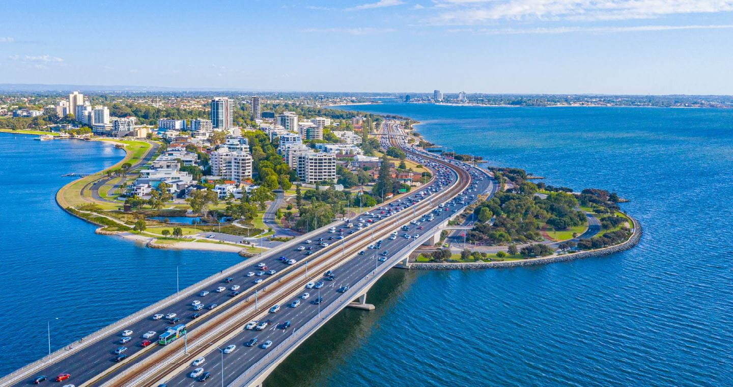
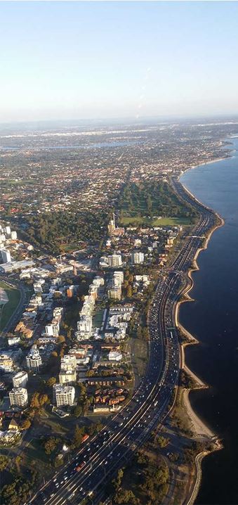
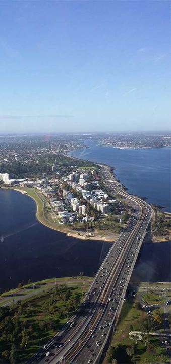
Aurecon with Main Roads has developed the largest transport simulation model ever built in Western Australia, pushing the boundaries of transport modelling software and its associated data collation, including analysis of Perth's first smart freeway.
The initial model covered 170 square kilometres of Perth's Northern Freeway and surrounding suburbs, took seven months to develop, and required extensive software adjustments. This modelling was used as part of MRWA’s 'Transforming Perth Freeways Strategy'.
The project sets a new benchmark for the planning and execution of road infrastructure. Based on a much larger spatial area than such models typically cover, the Perth Freeway Simulation Model provides the client’s Planning and Network Operations teams with a holistic view of the Freeway system and its surrounding areas.
It enables Main Roads to gain crucial insights into how the network infrastructure will perform in current and future years, and to understand the impact of proposed upgrades or developments.
On an ongoing basis, Main Roads will be able to further manage constrained flows to reduce delays and ensure that the effects for the wider network are understood and mitigated as much as possible.


Being able to make informed and accurate decisions will result in considerable benefits for Main Roads over time. For local communities it will mean improved operations, reliable travel times, less congestion, and fewer emissions.
Due to the success of this project, and the insights it has given Main Roads into how its infrastructure will perform in future years, the model has been extended to cover further areas of Perth’s Freeway system and wider network.
Over time, the model will help Main Roads to ensure that the Mitchell and Kwinana Freeway network continues to operate in a safe, reliable, and efficient manner. For individuals, this will mean minimised travel times that are more reliable.
Aurecon is transforming Sydney Harbour, replacing dredging with TBM tunnel engineering to deliver a faster, safer and more sustainable second harbour crossing.
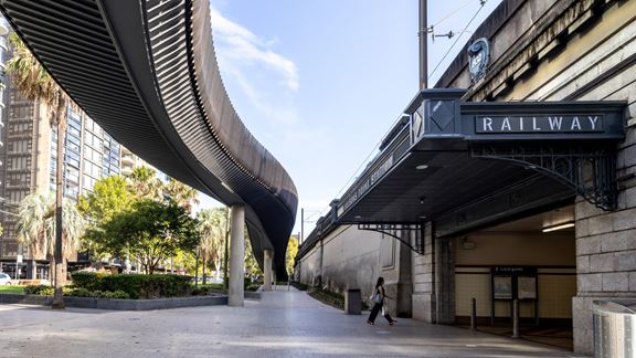
Aurecon's active transport design expertise supports TfNSW to create a seamless, unobtrusive, step-free ramp and cycleway across Sydney Harbour Bridge.
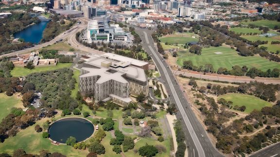
Aurecon leads building services engineering for the New WCH to deliver a 100% all-electric tertiary hospital for South Australian women and children.